Call or Text

Arapeen OHV Trail
The Arapeen OHV Trail System covers the mountains above Sanpete Valley in central Utah, with more than 600 miles of routes through aspen groves, past mountain lakes and along Skyline Drive, which tops out near 10,900 feet. It hosts more OHV jamborees than any other trail system in Utah.
| Where | Manti-La Sal National Forest, above Fairview, Ephraim, Manti and Mayfield on the west side and Ferron and Orangeville on the east |
|---|---|
| Length | More than 600 miles of trails and forest roads |
| High point | Skyline Drive, near 10,900 feet |
| Width limits | Some trails and bridges are limited to 50 or 66 inches |
| Connections | Links to the Great Western Trail and the Paiute ATV Trail system |
| Best seasons | Summer and fall; the highest trails are at their best from July on |
Open the full trail mapBase map: Natural Earth
Where it is
Arapeen OHV Trail
- StartEphraim, at the foot of Ephraim Canyon
- GPS39.3597, -111.5866
- DriveAbout 1 hr 30 min from our Orem location
- LevelAll skill levels
Booking online is the fastest way to check availability. Call or text us to plan an Arapeen Trail trip.
Riding the Arapeen Trail
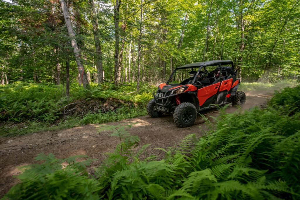
Skyline Drive is the backbone of the system, running along the top of the Wasatch Plateau with views across Sanpete Valley to Mount Nebo. Canyons like Ephraim Canyon and Manti Canyon climb up to it from the valley towns, and loops drop off the east side toward Joes Valley and Ferron.
Trails are rated easiest, more difficult and 4×4, and those ratings compare trails within the Arapeen system, so an “easiest” trail here can still be rough. Water crossings, rocky climbs and high-mountain weather are all part of the ride.
Tips for the trail
- Check width limits before you go; some routes are for 50- or 66-inch machines.
- Bring warm layers; it’s much cooler on Skyline Drive than in the valley.
- Pick up an Arapeen map from a Manti-La Sal National Forest office.
- The highest trails are at their best from July into the fall.
Arapeen Trail UTV and ATV rentals
- Some of our machines are wider than 66 inches, so tell us which trails you plan to ride and we’ll match the right ATV or UTV to them. Pick up your machine at our Orem location, or we can have it waiting for you at the riding area. Call or text us to plan the trip.
- Want someone who knows the way to lead? Add a guide to your rental.
- Helmets and goggles are included. Fuel and taxes are additional, and the damage waiver is optional.
- Drivers must be 18 or older with a valid driver’s license, and every driver completes Utah’s free online OHV education course. Passengers of any age can ride with a guardian’s approval.
Arapeen OHV Trail questions
How big is the Arapeen Trail System?
More than 600 miles of trails and forest roads in the Manti-La Sal National Forest.
When can I ride Skyline Drive?
The lower trails are good from late spring, and the highest areas are at their best from July into the fall.
Does the Arapeen connect to the Paiute Trail?
Yes. It connects with the Great Western Trail and the Paiute ATV Trail system.
More rides nearby: Paiute ATV Trail, Little Sahara, Utah County. Compare them all in our Utah trail finder.
Ready to ride the Arapeen Trail? Book online, or call or text us with questions.
Before you ride
Get Ride Ready
Take the free Utah OHV course, read our riding rules and check what to bring before pickup.
Get Ride ReadyNo signal out there?
Save the trail map and Trail Help to your phone now. They open with no bars, and your blue dot still works.
Weather near Arapeen OHV Trail
Loading the forecast…