Call or Text

Alpine Loop, Colorado
The Alpine Loop is Colorado’s most famous high-country route: about 65 miles of old mining roads in the San Juan Mountains linking Ouray, Silverton and Lake City over Engineer Pass and Cinnamon Pass, both above 12,000 feet. Ghost towns, wildflowers and huge peaks fill the views.
| Where | San Juan Mountains of southwest Colorado, between Ouray, Silverton and Lake City |
|---|---|
| Length | About 65 miles; most groups spend a full day |
| High points | Engineer Pass and Cinnamon Pass, both over 12,000 feet; the route reaches about 12,800 feet |
| Highlights | Animas Forks ghost town, American Basin wildflowers, old mines and cabins |
| Permits | Colorado requires an OHV registration or permit sticker on machines using designated OHV routes |
| Best seasons | Summer into early fall |
Open the full trail mapBase map: Natural Earth
Where it is
Alpine Loop (Colorado)
- StartSilverton, Colorado, on the Alpine Loop
- GPS37.8119, -107.6645
- DriveAbout 6 hr from our Orem location
- LevelModerate
Booking online is the fastest way to check availability. Call or text us to plan an Alpine Loop trip.
Riding the Alpine Loop
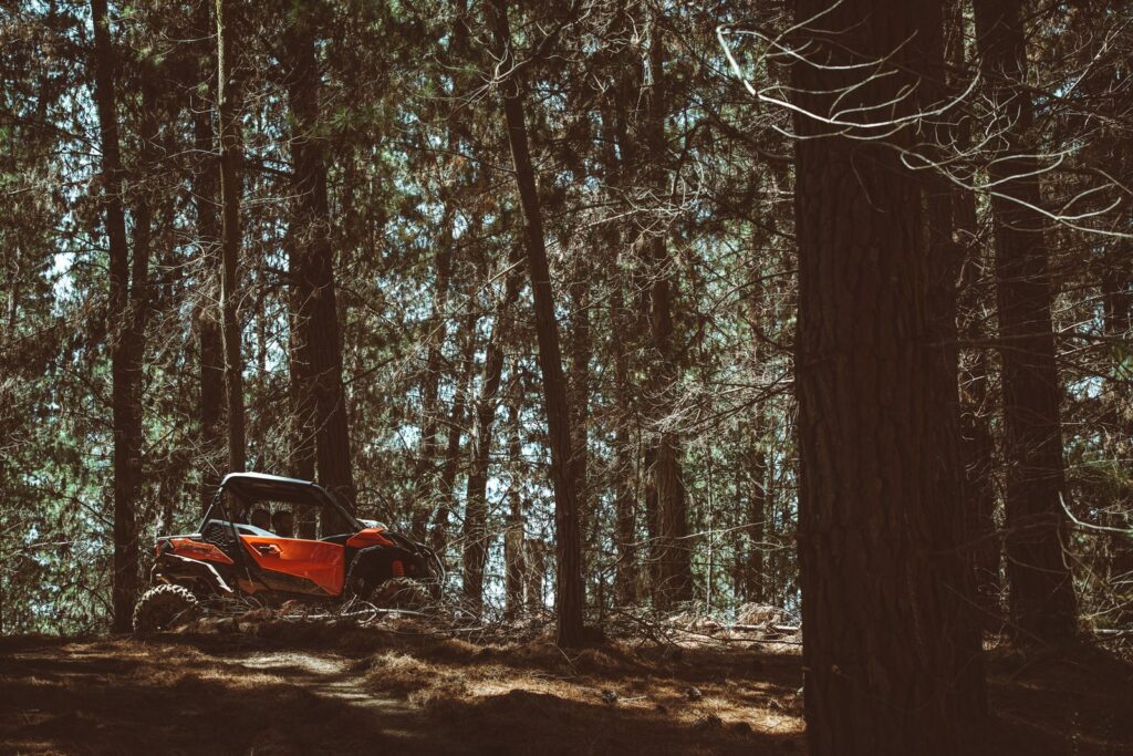
Most of the loop is moderate, with rocky shelf roads and steep switchbacks rather than big obstacles. You can start in any of the three towns. Plan stops at Animas Forks and on the passes, and leave time for side trips like Corkscrew Gulch or Yankee Boy Basin.
Nearby Black Bear Pass is one of the most famous and most dangerous four-wheel-drive roads in Colorado, and it’s only for experienced drivers. Weather changes fast at 12,000 feet, and phones don’t work on most of the loop, so download your maps before you go.
Tips for the trail
- Download maps ahead of time; cell service doesn’t work in most of the area.
- Start early; afternoon storms are common in summer.
- Stay on the road; alpine plants can take decades to recover.
- Check local rules before driving an OHV on town streets in Ouray, Silverton or Lake City.
Alpine Loop UTV rentals
- A Commander or Maverick X3 MAX is comfortable for a long day of mountain passes. Your machine can meet you at the riding area. Call or text us to plan the trip.
- Want someone who knows the way to lead? Add a guide to your rental.
- Helmets and goggles are included. Fuel and taxes are additional, and the damage waiver is optional.
- Drivers must be 18 or older with a valid driver’s license, and every driver completes Utah’s free online OHV education course. Passengers of any age can ride with a guardian’s approval.
Alpine Loop questions
How long does the Alpine Loop take?
Most groups spend a full day on the loop, longer with side trips.
When is the Alpine Loop open?
Summer into early fall is the best time to ride the high passes.
Do I need a permit to ride an OHV on the Alpine Loop?
Colorado requires an OHV registration or permit sticker on machines using designated OHV routes. Ask us what’s needed for your trip.
More rides nearby: Moab, Hell’s Revenge, Gemini Bridges. Compare them all in our Utah trail finder.
Ready to ride the Alpine Loop? Book online, or call or text us with questions.
Before you ride
No signal out there?
Save the trail map and Trail Help to your phone now. They open with no bars, and your blue dot still works.
Weather near Alpine Loop (Colorado)
Loading the forecast…